

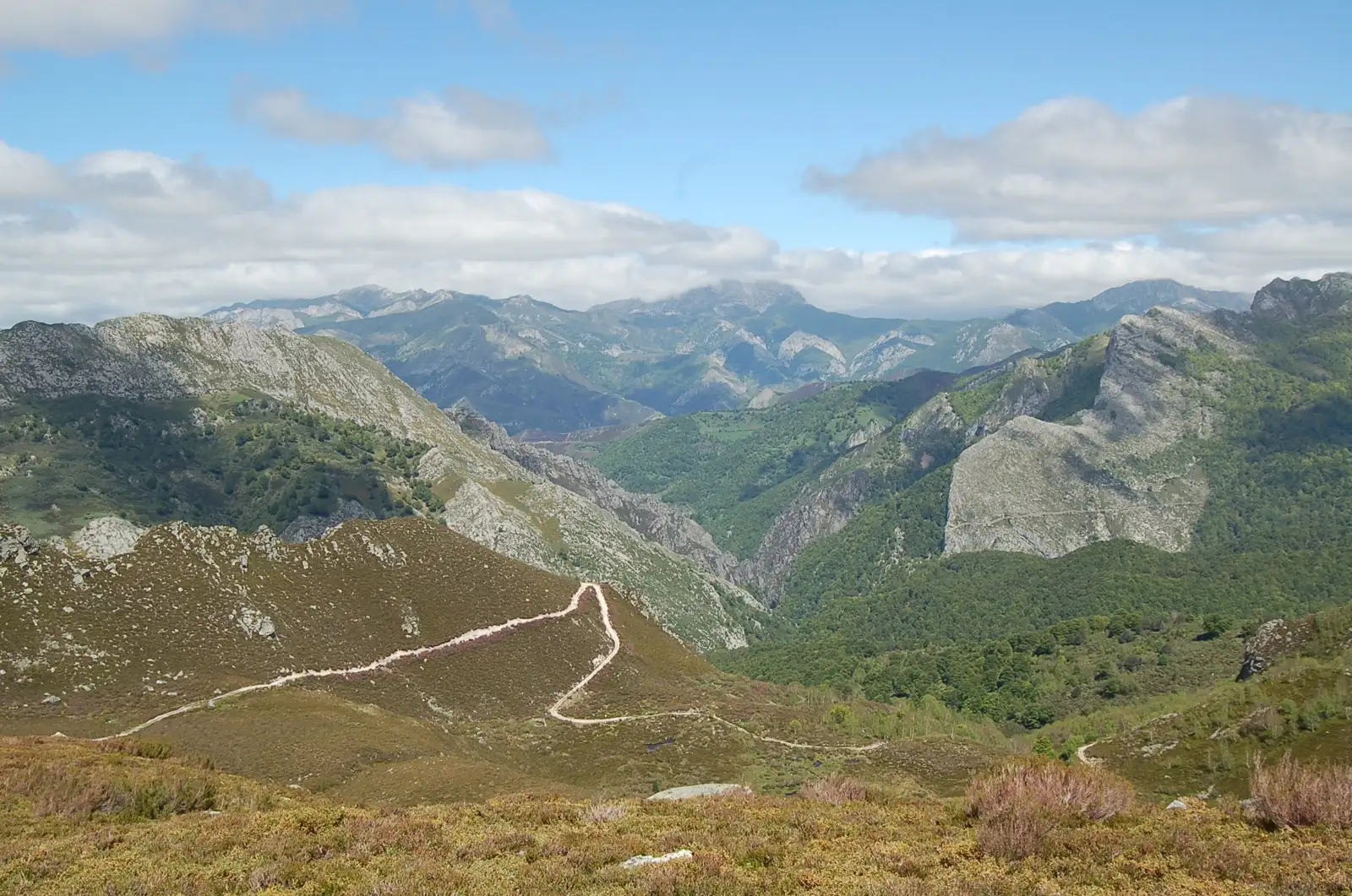
The route
Map and profile
- Ascent1,227 m
- Descent1,200 m
- Highest1,707 m
- Lowest654 m
Elevation profile
Use two fingers to move the map
Track based on OpenStreetMap (© its contributors, ODbL licence); elevation from the Copernicus EU-DEM model. For guidance only: always follow the waymarks.
About the route
An epic journey through the heart of Redes. The path crosses a spectacular limestone gorge, hanging bridges and ancient forests until reaching the remote Lake Ubales (optional to La Fontona for an easier version).
Route Description
The Arrudos Gorge is not just a route, it is a lesson in geology and living nature. Considered by many to be the most spectacular route in the Redes Natural Park, this path follows the course of the river that, for millennia, has carved a canyon in the limestone rock.
The route begins in Caleao, a charming town where you can breathe tranquility. From there, we headed towards the hermitage of San Antonio. The landscape soon becomes boxed in and the river becomes our guide. You will cross several bridges, including the famous Puente de la Calabaza, the point where the most photogenic stretch of the gorge begins.
The path ascends, sometimes with steps carved into the rock (La Escalerona), until reaching La Fontona and Roxecu, old shepherds’ sheepfolds. As far as La Fontona the route is manageable and spectacular: about 2 hours up and the same back.
The most adventurous and in good physical shape can continue the ascent, much harder from here, towards the Ubales pass and finally Lake Ubales. This lake of glacial origin, located at the foot of Pico Cascayón, is an exceptional viewpoint of the Cordillera.
The route in figures
- Trail: PR-AS 61, Ruta de los Arrudos.
- Full route: Caleao – La Fontona – Roxecu – Ubales pass – La Canalina – La Infiesta.
- Distance: 22.9 km.
- Time: 8 hours 5 minutes, according to the official route sheet.
- Difficulty: medium to high.
- Type: linear. To close the loop you add 5 km of road from La Infiesta to Caleao.
The short version: as far as La Fontona
You do not need to walk all 23 km to see the gorge. The stretch that gives the route its name begins at the La Calabaza suspension bridge, about 45 minutes from the start, and ends shortly before La Fontona, at 2 hours. Between the two come the steep climb, the path cut into the rock and El Collaín, the small level area with a view over much of the Roxecu valley.
Going to La Fontona and back the same way is about 4 hours of walking. La Fontona is also where the pipes that carry water to Gijón begin.
If you want a little more, the Roxecu pasture is one hour further up, at the end of the Arrebellaos beech wood.
Split times
Times from the start, according to the official route sheet:
| Point | Time |
|---|---|
| La Calabaza bridge | 45 min |
| La Fontona | 2 h |
| Roxecu | 3 h |
| Llede | 3 h 50 min |
| Ubales pass | 5 h |
| La Canalina pass | 5 h 30 min |
| La Infiesta | 8 h 5 min |
Where the name comes from
An arrudu was a traditional tool: a holly pole about 2.5 metres long with stakes fixed across it like rungs, used to climb the most difficult passages. The gorge takes its name from it.
The upper part: the pass and Lake Ubales
From Roxecu you cross the river and climb to the Llede and Los Moyones pastures, where there is a spring. The Ubales pass is the highest point of the route, with views of the Brañagallones meadow, Cantu l’Osu, Tiatordos and the western massif of the Picos de Europa. A turn to the right, without losing height, leads in a few minutes to Lake Ubales, a small mountain tarn that is home to alpine and Iberian newts.
The descent joins the old Camín de Castilla, once used by the muleteers of Caso, and ends in the hamlet of La Infiesta.
Where to stay
Caleao has several rural places to stay, which lets you start walking early without touching the car. They are in places to stay in Redes Natural Park.
💡 Practical Tips
- Versions: If you go with children or are looking for something quiet, go to La Fontona and turn around. The stretch to Ubales is hard and long.
- Water: Bring plenty of water. Although you go next to the river, access to drinking water is not always easy in the final stretch.
- Equipment: Essential hiking boots. In winter, the high area (Ubales) usually has snow and requires technical equipment.
- Fauna: It is easy to spot chamois in the high areas and, with a lot of luck, brown bear tracks.
📸 Key Points
- The hanging bridges over the Arrudos river.
- The narrowing of the gorge with its vertical walls.
- The stone staircase of “La Escalerona”.
- Lake Ubales (if you complete the comprehensive route), a blue jewel between mountains.
Frequently asked questions
How long does the Arrudos route take?
The full route, from Caleao to La Infiesta, is 22.9 km and about 8 hours. The short version to La Fontona and back takes about 4 hours.
What is the short route through the Arrudos gorge?
Walk up from Caleao to La Fontona and return the same way. It includes the whole gorge section.
Is it a circular route?
No, it is linear: it ends in La Infiesta, 5 km by road from Caleao.
Where does it start?
Just before you reach Caleao, on a track that leaves the road to the left.
Route
Waypoints
Guided experiences
Guided tours


Booked on GetYourGuide; each activity shows its cancellation policy.
Where to stay
Accommodation in Redes
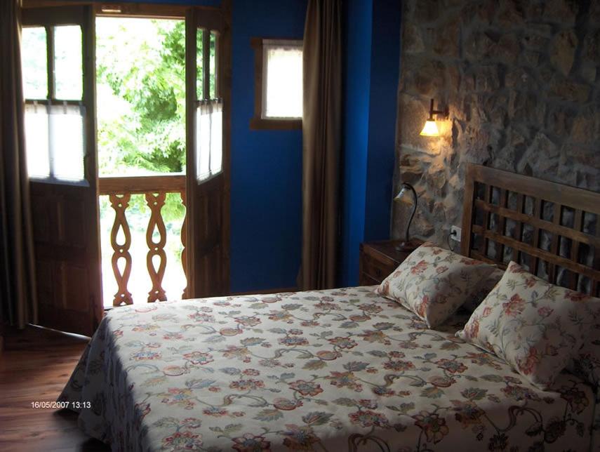 Rural Apartment
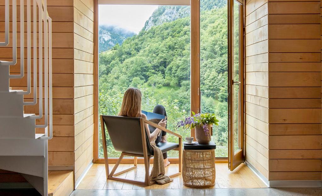 Ecotourism
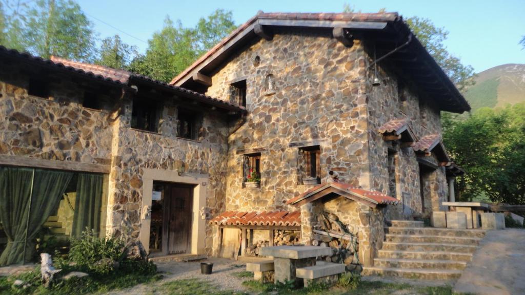 Rural House
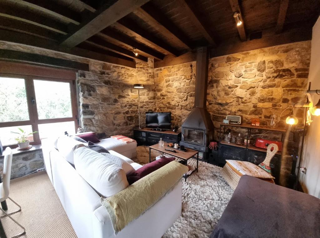 Rural House
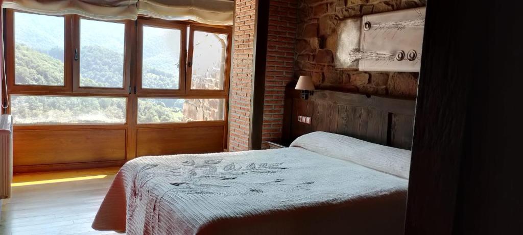 Rural House
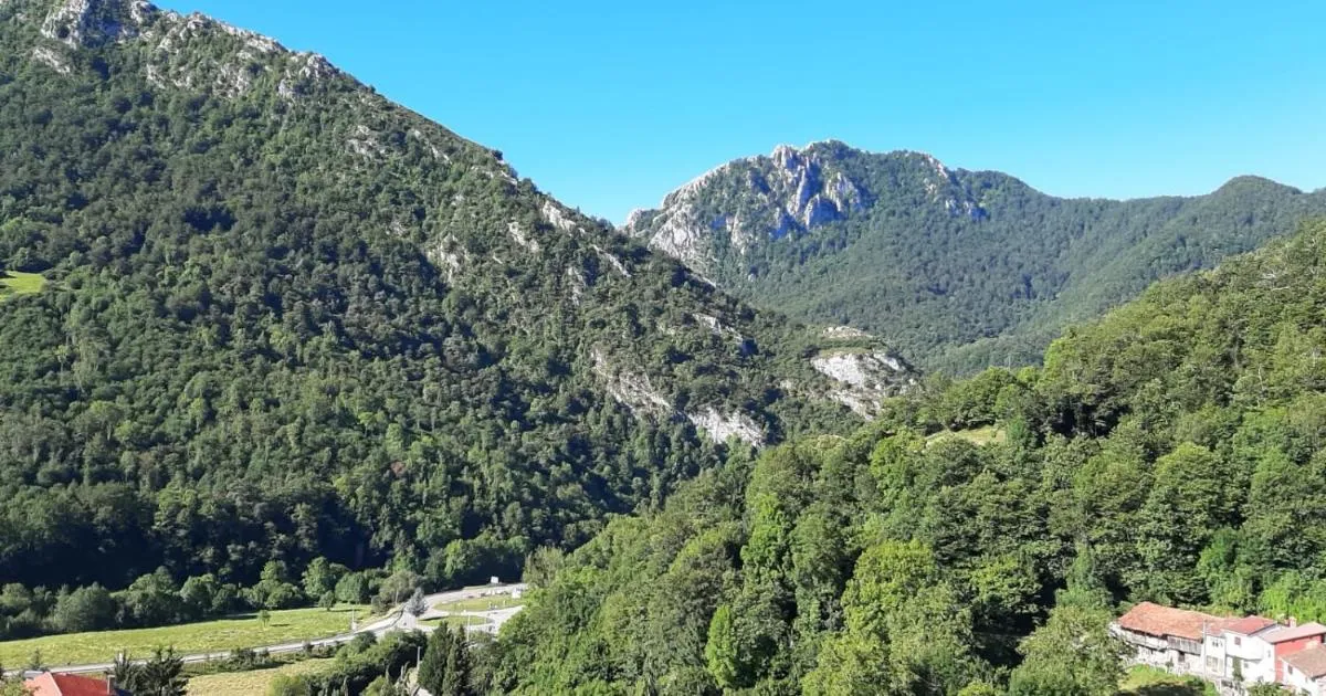 Apartment
 Rural Hotel
 Rural Hotel
Keep exploring


