


About this place
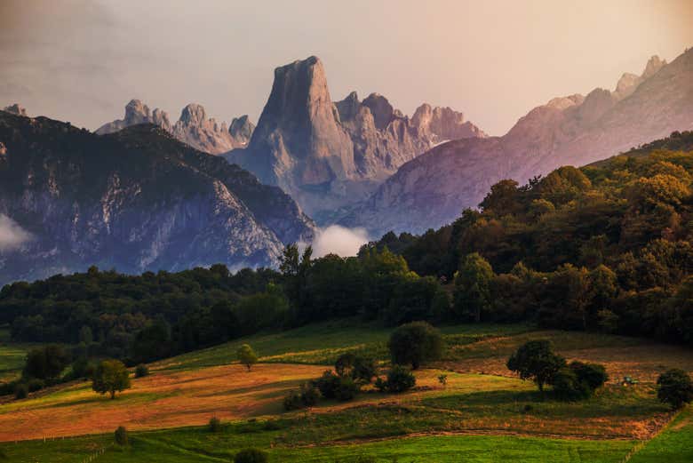
Known as 'the perfect mountain' for its characteristic calcareous cup shape and its unparalleled views over Ponga and Redes.
The Cup of Ponga
Tiatordos (1,951 m) is without doubt the most emblematic mountain in the municipality of Ponga. Its outline is unmistakable: a huge limestone mass that, from certain angles (especially from the west), looks like a perfect cup or a balcony hanging over the void. It is climbed from two municipalities: from Taranes, in Ponga, and from Pendones, in Caso, already inside Redes Natural Park.
Tiatordos in figures
- Altitude: 1,951 m.
- From Taranes (Ponga): about 15 km, 6 h 30 min and close to 1,400 m of accumulated ascent.
- From Pendones (Caso): a 14.2 km loop, more than 5 hours and 1,244 m of accumulated ascent.
- Difficulty: high because of the height gain; there are no climbing moves.
- La Copa: the vertical wall of more than 500 m that drops away below the summit.
The endless viewpoint
Reaching the top is the dream of many hillwalkers. The reward is one of the best panoramas in Asturias:
- To the east, the western massif of the Picos de Europa (Cornión) rises majestically.
- To the south, Redes Natural Park.
- To the west, the Cantabrian range.
- To the north, on clear days, the Cantabrian Sea.
- At your feet, a breathtaking vertical drop of more than 500 metres: the famous east face or “Copa”, falling towards Ponga.
The two routes
Although the mountain is technically accessible (no climbing is required), it demands good fitness because of the height gain.
From Taranes (Ponga)
The classic route from the Ponga side. It climbs through the Foz de la Escalada, a beautiful ravine, to the Entregüé pasture, and from there to the summit over high mountain meadows. You can return the same way or make a loop via Brañadosu. The full itinerary is in the ascent of Tiatordos.
From Pendones (Redes)
The alternative from the municipality of Caso is a loop. It leaves Pendones and climbs the slope of Peña la Quemada, through beech wood, to the El Xuacu pass, where there is a hut. It continues to the Piedrafita pasture, which has a spring, and to the Tiatordos pasture (1,540 m), with shepherds’ huts. From there 400 metres of ascent remain, the hardest section, to the ridge and the summit.
The descent returns to the Tiatordos pasture, links with the Plágan pasture and goes back to Pendones through the Foz del Palombar. The Asturias tourist board rates it very hard.
Tips
- Water: carry plenty; there are no springs in the upper limestone area.
- Fog: be careful; mountain weather changes fast.
- The summit: it is a ridge with an impressive drop to the east. Take great care near the edge.
- Livestock: the pastures have cattle and mastiffs. Keep your distance and, if you bring a dog, keep it on a lead.
Where to stay
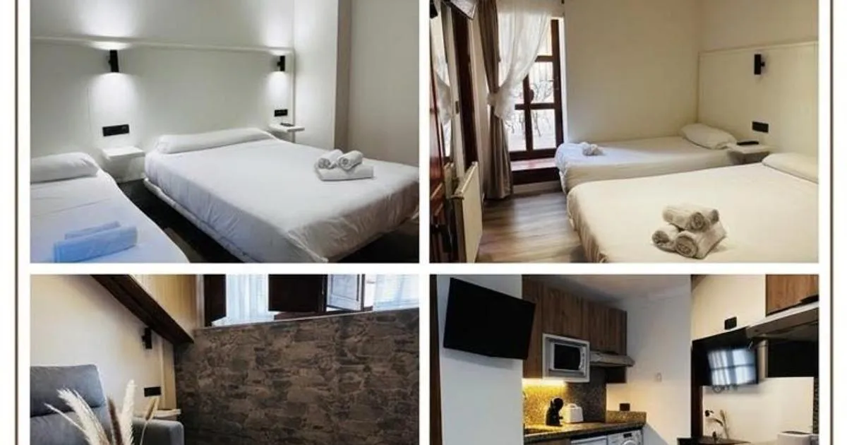
Taranes, at the foot of the classic route, has rural accommodation: see places to stay in Ponga Natural Park. If you climb from Pendones, look at places to stay in Redes.
Frequently asked questions
How long does it take to climb Tiatordos?
About six and a half hours from Taranes (about 15 km) and more than 5 hours from Pendones (a 14.2 km loop).
Is Tiatordos hard to climb?
There are no climbing moves, but the height gain is over 1,200 metres on either route: you need to be fit.
Where do you climb it from?
From Taranes, in Ponga, or from Pendones, in Caso.
What is the Copa of Tiatordos?
The vertical wall of more than 500 metres that drops away below the summit, on the side facing Ponga.
Where to stay
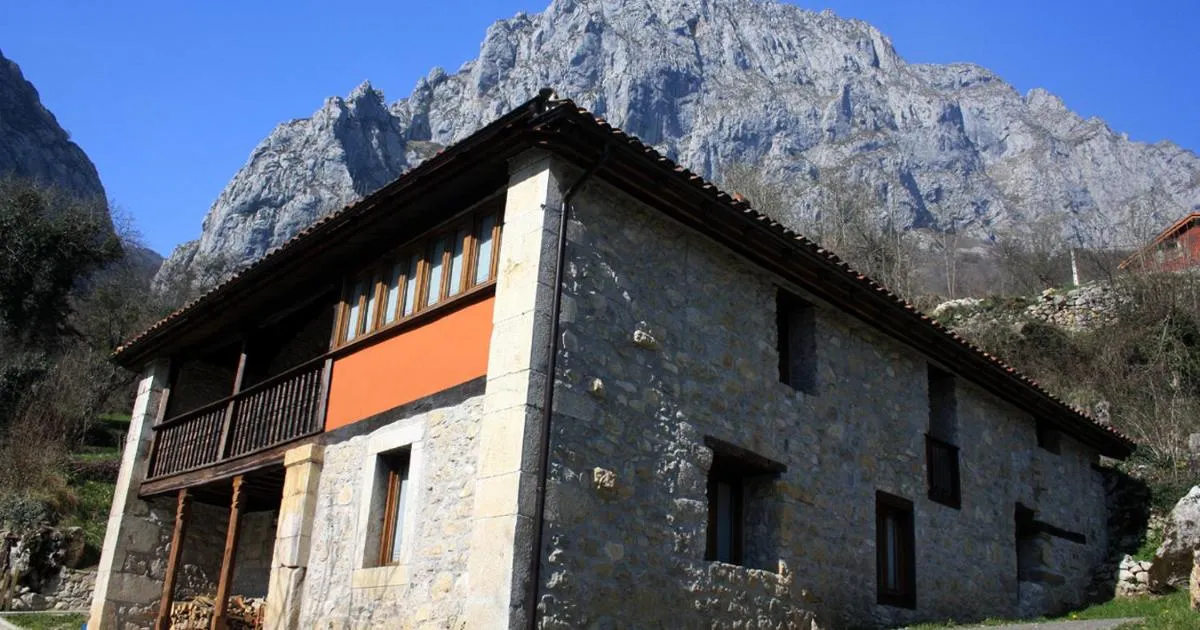
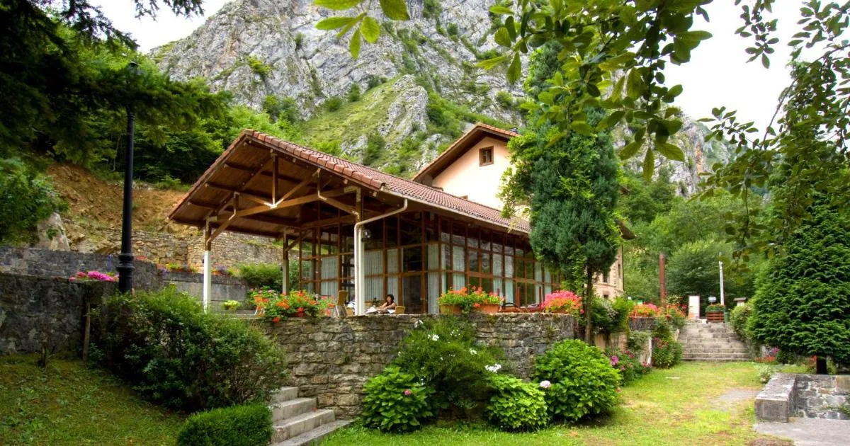
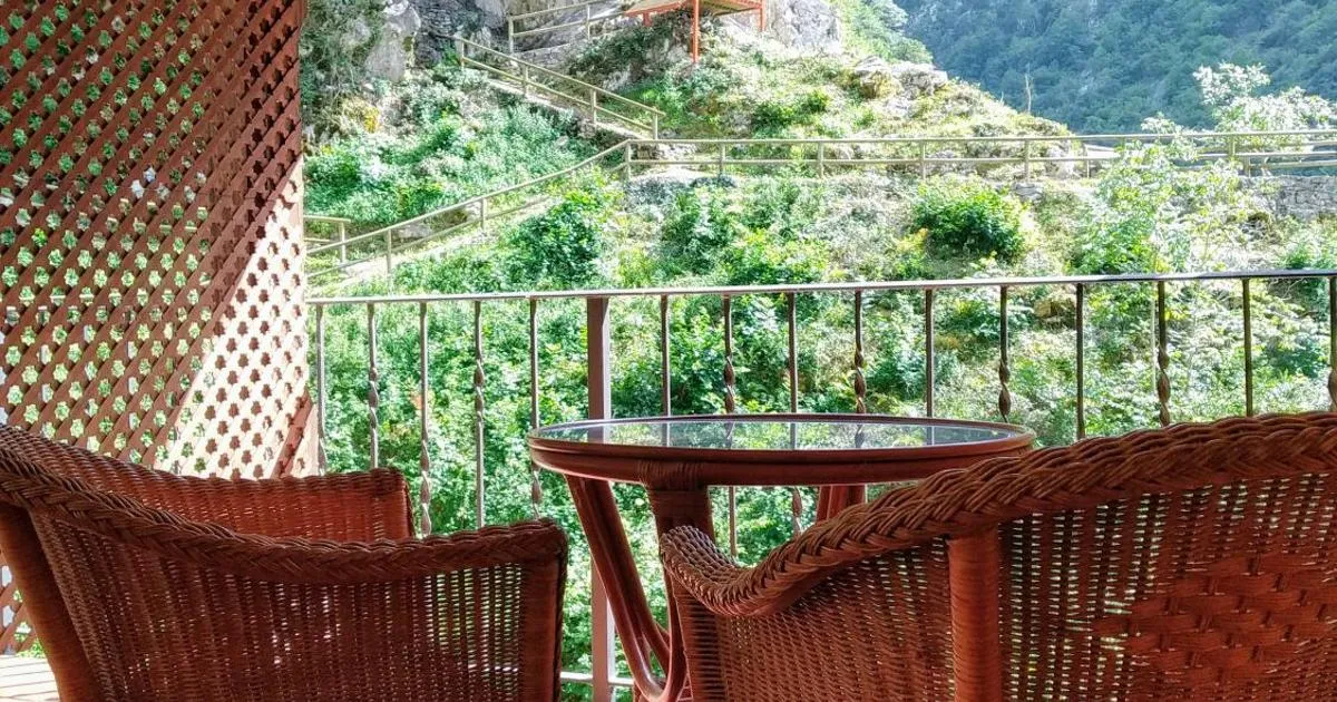
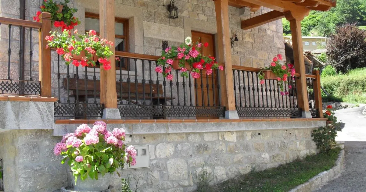
Accommodation in Ponga
Guided experiences
Guided tours
Actividades gestionadas por Civitatis · Cancelación gratuita hasta 24h antes
For your visit
Recommended gear




Affiliate links — we earn from qualifying purchases.
Keep exploring


