

The route
Map and profile
- Ascent374 m
- Descent875 m
- Highest1,726 m
- Lowest851 m
Elevation profile
Use two fingers to move the map
Track based on OpenStreetMap (© its contributors, ODbL licence); elevation from the Copernicus EU-DEM model. For guidance only: always follow the waymarks.
About the route
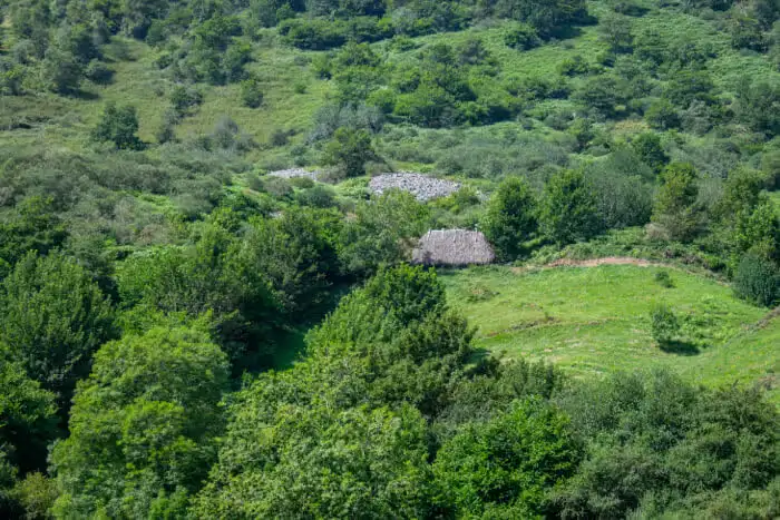
Panoramic crossing that connects two of the most emblematic towns in Somiedo. It starts from La Peral, ascends gently between meadows to the Las Malladas fountain with views of the Pigüeña valley and descends to Villar de Vildas.
Route Description
This linear route (PR.AS-14) connects the Mirador del Príncipe in La Peral with the Pigüeña valley. It is one of the most complete routes in the park due to the variety of landscapes.
We start in La Peral, an old vaqueiro braña today inhabited all year round, and we climb gently through meadows to the Malladas fountain. From here, the views are superb. The path reaches its highest point among broom scrub and arrives at the Collado de la Enfistiella, with views of the Cereizales valley and the upper Pigüeña, where the descent towards the neighboring valley begins.
On the way down we will connect with the famous brañas of Los Cuartos (Braña Viecha) and La Pornacal, before finishing in Villar de Vildas. It is advisable to organize transportation (two cars or taxi) as it is a long linear route.
Recommendations
With 13 km and 400 m of elevation gain spread over a little more than 5 hours, this is a long and demanding route: allow plenty of time, carry enough water and food, and check the weather forecast before setting out.
Route
Waypoints
Guided experiences
Guided tours


Booked on GetYourGuide; each activity shows its cancellation policy.
Where to stay
Accommodation in Somiedo




The full Somiedo guide
Somiedo has its own website, with more detail than fits here:
Keep exploring


